Keyword: Aerial
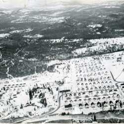
Aerial view of the City of Kimberley, BC 1946
Aerial view of the City of Kimberley, BC 1946. McDougall Townsite and Happy Valley.
| Internal ID: | 2298.0010 |
|---|---|
| Medium: | Photograph |
| Date: | 1946 |
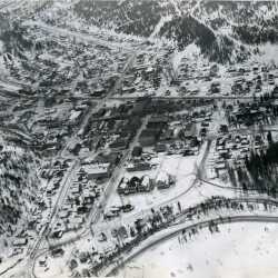
Aerial view of the City of Kimberley, BC 1946
Aerial view of the City of Kimberley, BC 1946. Deer Park Avenue in downtown Kimberley (Platzl and area) and upper Blarchmont.
| Internal ID: | 2298.0011 |
|---|---|
| Medium: | Photograph |
| Date: | 1946 |
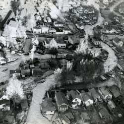
Mark Creek flood. Kimberley, BC, 1948
Mark Creek flood. Kimberley, BC, 1948. Aerial view from North Star Hill.
| Internal ID: | 2298.0018 |
|---|---|
| Medium: | Photograph |
| Date: | 1948 |
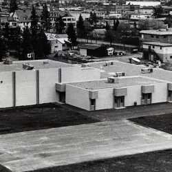
Pinewood Elementary School in Cranbrook, BC 1981
Aerial view of Pinewood Elementary School in Cranbrook, BC 1981. St. Eugene Hospital in the background.
| Internal ID: | 2290.0068 |
|---|---|
| Medium: | Photograph |
| Date: | 1981 |
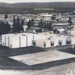
Pinewood Elementary School in Cranbrook, BC 1981
Aerial view of Pinewood Elementary School in Cranbrook, BC 1981. St. Eugene Hospital in the background.
| Internal ID: | 2290.0069 |
|---|---|
| Medium: | Photograph |
| Date: | 1981 |