Columbia Basin Institute of Regional History (CBIRH): 2073

Crowsnest Mountain and Lake
A hand-tinted photograph of Crowsnest Mountain & Lake 1926
| Internal ID: | 2073.0003 |
|---|---|
| Medium: | Photograph |
| Date: | 1926 |
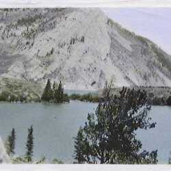
Crowsnest Lake
Hand-tinted photo of Crowsnest Lake c.1926
| Internal ID: | 2073.0004 |
|---|---|
| Medium: | Photograph |
| Date: | 1926 |

Crowsnest Creek
Hand-tinted photograph of Crowsnest Creek 1925.
| Internal ID: | 2073.0008 |
|---|---|
| Medium: | Photograph |
| Date: | 1925 |

Crowsnest Highway 1923
Hand=tinted photo of the Crowsnest Highway 1923.
| Internal ID: | 2073.0013 |
|---|---|
| Medium: | Photograph |
| Date: | 1923 |

Fort Steele and Windermere Road c.1926
A hand-tinted photo of the Fort Steele and Windermere Road c.1926. When times were slower and more leisurely.
| Internal ID: | 2073.0014 |
|---|---|
| Medium: | Photograph |
| Date: | 1926 |

Motor Trip to Crowsnest Pass 1921
In the Crowsnest Pass 1921
| Internal ID: | 2073.0017 |
|---|---|
| Medium: | Photograph |
| Date: | 1921 |
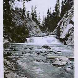
Kicking Horse River 1926
Hand-tinted photo of the Kicking Horse River 1926
| Internal ID: | 2073.0020 |
|---|---|
| Medium: | Photograph |
| Date: | 1926 |

Upper Columbia River 1925
A hand-tinted photo of the Upper Columbia River near Invermere, 1925
| Internal ID: | 2073.0026 |
|---|---|
| Medium: | Photograph |
| Date: | 1925 |
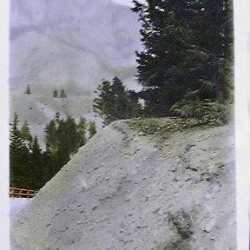
Invermere-Golden Road 1926
A hand-tinted view of the Invermere-Golden Road 1926
| Internal ID: | 2073.0028 |
|---|---|
| Medium: | Photograph |
| Date: | 1926 |
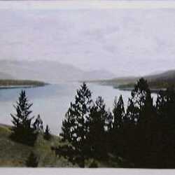
Overview of Lake Windermere c. 1925
Undeveloped Lake Windermere, hand-tinted c. 1925
| Internal ID: | 2073.0032 |
|---|---|
| Medium: | Photograph |
| Date: | 1925 |
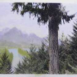
Picturesque Upper Columbia River
Hand-tinted photo of the Upper Columbia River c.1925
| Internal ID: | 2073.0037 |
|---|---|
| Medium: | Photograph |
| Date: | 1925 |
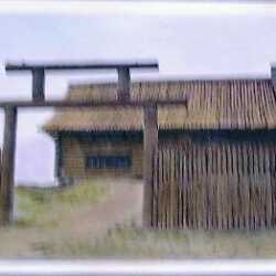
Reconstructed Kootenay House
Reconstructed Kootenay House near Invermere 1926
| Internal ID: | 2073.0044 |
|---|---|
| Medium: | Photograph |
| Date: | 1926 |
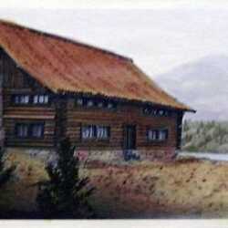
Reconstructed Kootenay House
Hand-tinted photo of Kootenay House near Invermere 1926
| Internal ID: | 2073.0045 |
|---|---|
| Medium: | Photograph |
| Date: | 1926 |
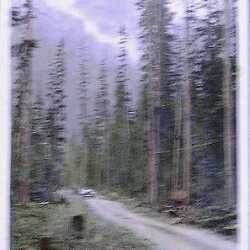
Yoho - Windermere Road 1926
Early hand-tinted view of the road system, Yoho - Windermere Road 1926, which opened Invermere to development.
| Internal ID: | 2073.0047 |
|---|---|
| Medium: | Photograph |
| Date: | 1926 |
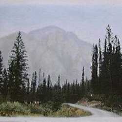
Invermere-Golden Road 1926
Hand-tinted view of Invermere-Golden Road 1926 - early Highway 95.
| Internal ID: | 2073.0062 |
|---|---|
| Medium: | Photograph |
| Date: | 1926 |
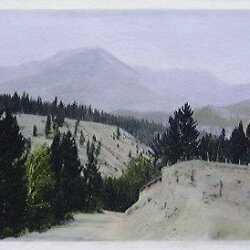
Beginning of Highway 95
Hand-tinted view of the Invermere-Golden Road 1926 - later Highway 95.
| Internal ID: | 2073.0078 |
|---|---|
| Medium: | Photograph |
| Date: | 1926 |
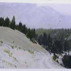
A Rocky Beginning - Highway 95
Hand-tinted early view of the Invermere-Golden Road 1926
| Internal ID: | 2073.0079 |
|---|---|
| Medium: | Photograph |
| Date: | 1926 |

Crowsnest Pass Lake
Hand-tinted view of Crowsnest Pass Lake, 1921.
| Internal ID: | 2073.0089 |
|---|---|
| Medium: | Photograph |
| Date: | 1921 |

The Main Highway, Invermere to Golden
Hand-tinted view of the early Invermere - Golden Road 1923, later Highway 95.
| Internal ID: | 2073.0108 |
|---|---|
| Medium: | Photograph |
| Date: | 1923 |
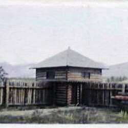
Kootenay House near Invermere
Hand-tinted view of Stockade & Bastion at Kootenay House - Windermere 1923
| Internal ID: | 2073.0124 |
|---|---|
| Medium: | Photograph |
| Date: | 1923 |

Crowsnest Creek 1921
Hand-tinted photo of Crowsnest Creek 1921, Sparwood's early playground.
| Internal ID: | 2073.0136 |
|---|---|
| Medium: | Photograph |
| Date: | 1921 |

The Hoodoos on Dutch Creek
Hand-tinted view of the wonderful sandstone sculptures below Invermere on Dutch Creek - the Hoodoos.
| Internal ID: | 2073.0150 |
|---|---|
| Medium: | Photograph |
| Date: | 1925 |
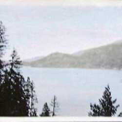
Beautiful Lake Windermere
Hand-tinted view of Lake Windermere 1923, no development showing
| Internal ID: | 2073.0157 |
|---|---|
| Medium: | Photograph |
| Date: | 1923 |